


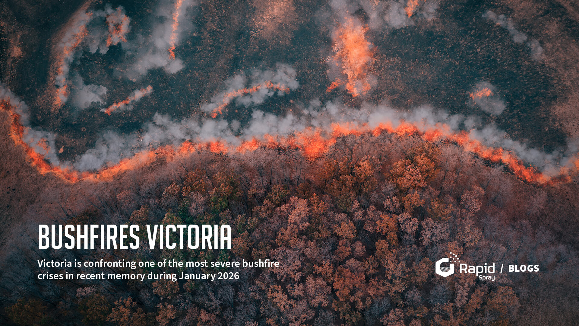
Victoria is confronting one of the most severe bushfire crises in recent memory during January 2026, with widespread blazes ignited amid record-breaking heat, dry conditions, and strong winds. Multiple firegrounds are active across the state, prompting emergency warnings, evacuations, and a State of Disaster declaration by the Victorian Government.
What’s Happening
Since early January, more than 30 bushfires have raged across the state, burning over 390,000 hectares of land and destroying hundreds of structures including homes, farms, and outbuildings. Authorities warn that many fires are far from contained and may continue to burn for weeks under hot, dry conditions.
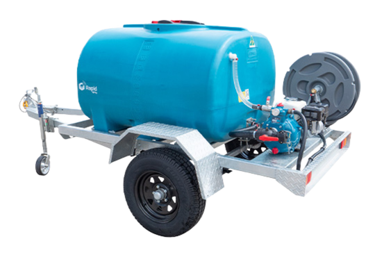
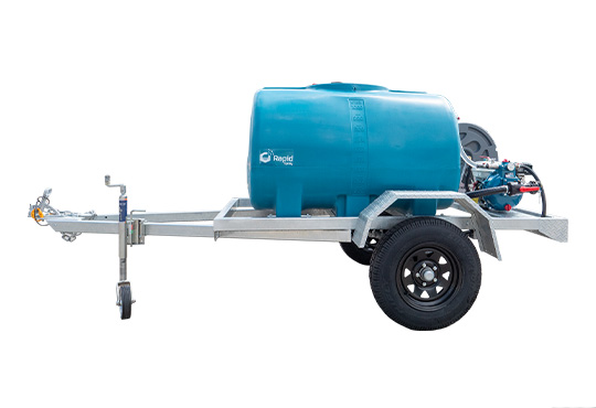
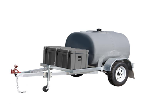
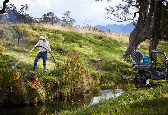
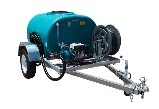
The Victorian Government has declared a State of Disaster covering 18 Local Government Areas a rare and serious step that gives emergency services expanded powers to coordinate response and relief. To see more about fire fighting units & equipment click here.
Key Bushfire Locations Across Victoria (January 2026)
Here are the main regions and specific fire fronts currently affecting Victoria:
1. Longwood & Central Victoria Fires
-
The Longwood fire remains one of the most destructive blazes, tearing through central Victoria and triggering emergency warnings for nearby communities.
-
Human remains were found near the Longwood fire zone a confirmed fatality associated with the blaze.
2. Walwa & North-East Border Fires
-
A significant fire near Walwa, close to the New South Wales border, is still burning at emergency level with ongoing threats to life and property.
-
Warnings remain active for communities along the Murray River region.
3. Great Otway National Park / Otways Firegrounds
-
Multiple fires in the Otways region are burning out of control:
-
Cape Otway (west of Apollo Bay)
-
Carlisle River to Bungador
Evacuation orders and “take shelter now” warnings have been issued in this region due to fire movement toward settlements.
-
4. Mount Lawson Fire (East of Albury)
-
A large bushfire is burning near Mount Lawson National Park, located roughly 50 km east of Albury, impacting cross-border regions and prompting condition monitoring for nearby towns like Talmalmo, Jingellic, and Ournie.
5. Nariel Valley, Cudgewa & Towong Region
-
Watch-and-Act warnings and ongoing fire activity extend around Nariel Valley, Cudgewa, Corryong, Towong, and adjacent border areas particularly where bushland has become tinder-dry.
Check out the fire map here or visit the map here

Bushfires Victoria 2026
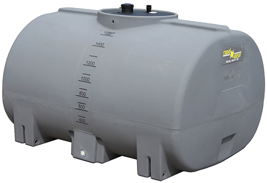
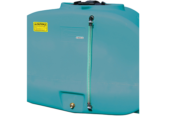
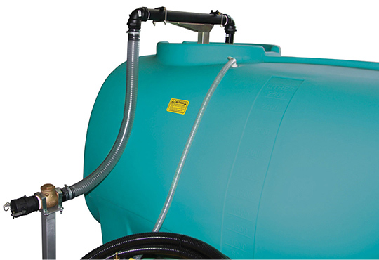
“While a mobile slip-on unit is critical for active defense, ensuring your property has dedicated static water storage via slimline water tanks ensures a reliable supply when main pressure fails.”
Towns and Communities Most Affected
Several communities have either been evacuated, warned of imminent danger, or suffered significant impacts:
-
Longwood & Longwood East
-
Walwa
-
Otways region (including Cape Otway & Carlisle River)
-
Ruffy, Harcourt & Ravenswood areas
-
Natimuk, Streatham
-
Central Victoria rural communities such as Creighton, Merton, Yarck and surrounds (from predicted spread in earlier alerts)
These towns have seen homes destroyed, power outages affecting thousands of homes, and some residents still unaccounted for at the peak of the crisis.
Government Response and Support
Victorian and Australian governments have mobilised emergency funding, relief packages, and recovery support, including:
-
Emergency and hardship payments for affected households
-
Support for livestock and farmers
-
Mental health and community wellbeing services
-
A Victorian Bushfire Appeal to support long-term recovery efforts
Authorities continue to urge residents in threatened areas to monitor official warnings via VicEmergency and to follow evacuation orders without delay.
Why This Bushfire Season Is Severe
The 2025-26 fire season in Victoria has been intensified by:
-
An unprecedented heatwave that pushed temperatures well above average
-
Extended dry conditions leaving vegetation highly flammable
-
Strong winds that helped fires spread rapidly across landscapes
These factors combined have made fire behaviour extremely aggressive in many regions and challenged fire containment efforts.
Practical Safety Advice
If you live in or near affected areas:
-
Stay informed with VicEmergency alerts
-
Prepare a bushfire survival plan
-
Leave early if within an Emergency Warning zone
-
Wear protective clothing if outside
-
Ensure pets and livestock are secured ahead of deteriorating conditions
Emergency services repeatedly emphasise that early planning and acting on warnings save lives.
Final Thoughts
The bushfires sweeping through Victoria in January 2026 are a stark reminder of the increasing fire risks posed by heatwaves and dry conditions. Entire communities are being tested by this emergency, with long-lasting impacts expected on families, farms, wildlife, and local economies.
This crisis highlights the importance of supporting resilient response systems, individual readiness, and community solidarity during natural disasters.