Rapid Spray
Back to Rapid Spray
- Products
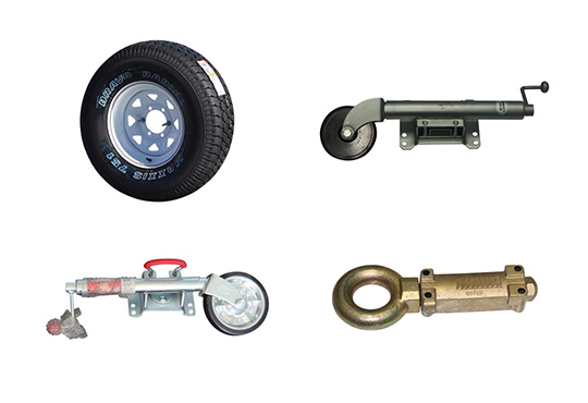
- Parts
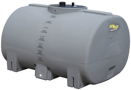
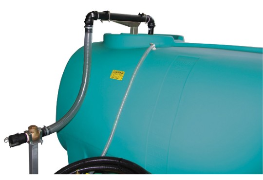
- Tank Parts
- Spray Equipment
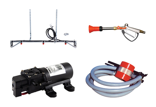
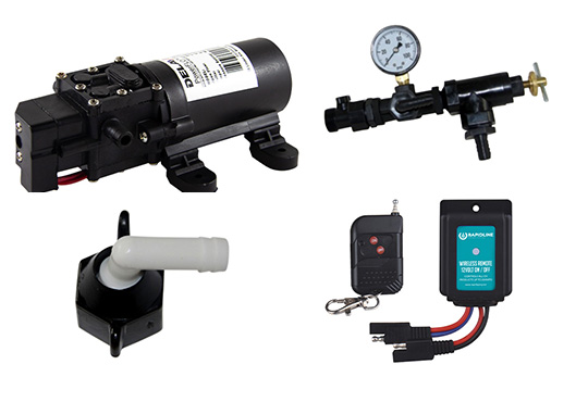 12V Pumps, parts & accessories
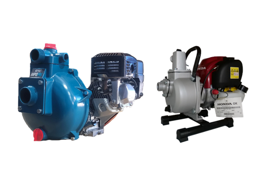
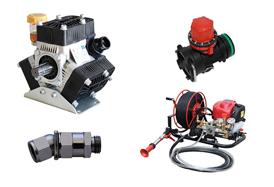 Engine & PTO Drive Pumps, parts & accessories
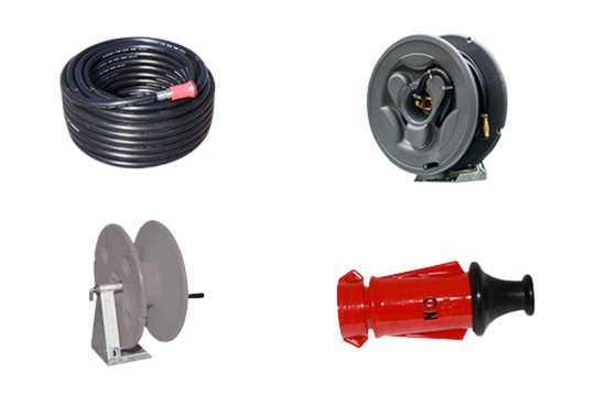
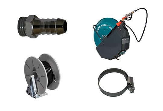 Hose Reels & Parts
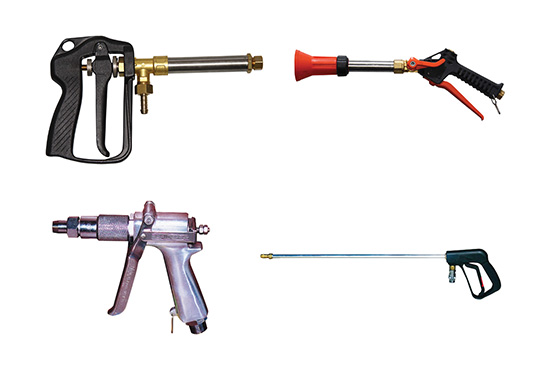 Spray Guns, Lances & Accessories
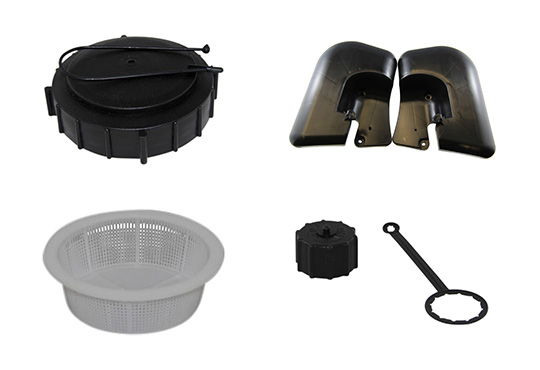 12 Volt Spot Sprayer Parts & Accessories
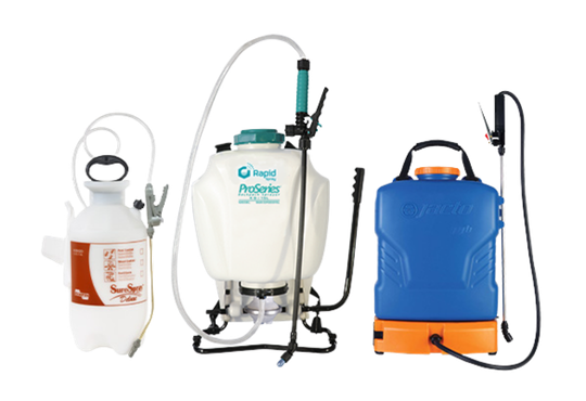
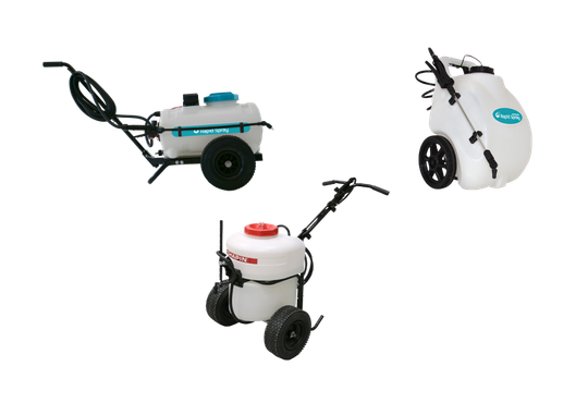
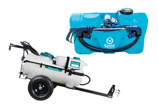
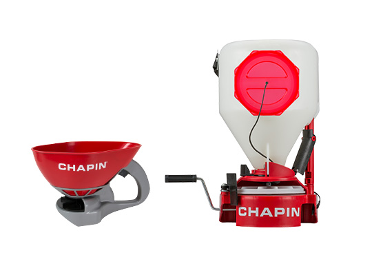
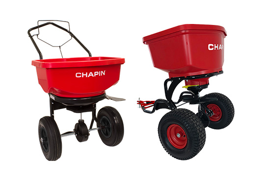
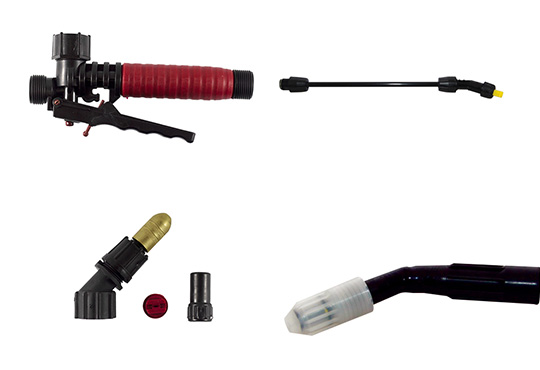 Backpack, compression & trolley sprayer parts
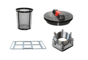
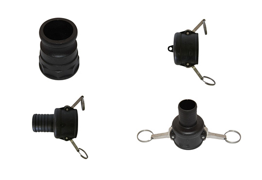
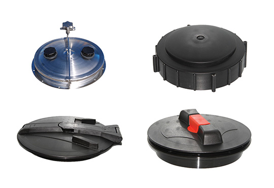
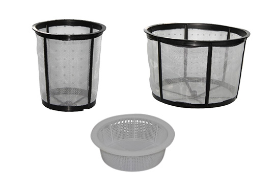
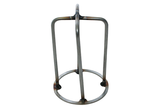
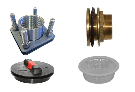 Spray Tank Lids, basket filters & outlets
 nozzles, boomless nozzles & boom accessories
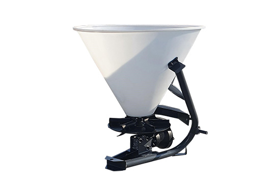
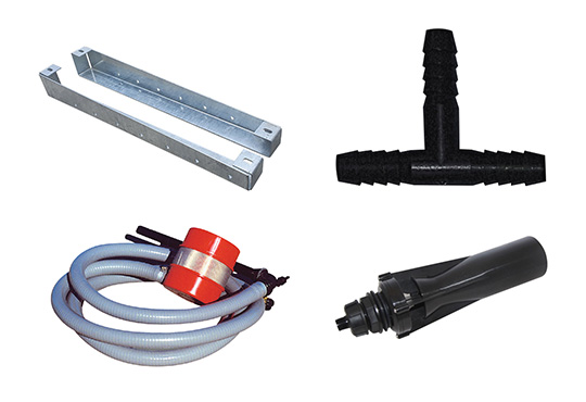 Other Spray Parts & Accessories
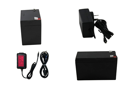 Batteries & Chargers
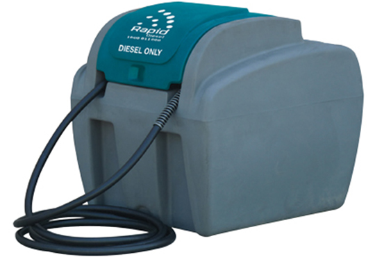
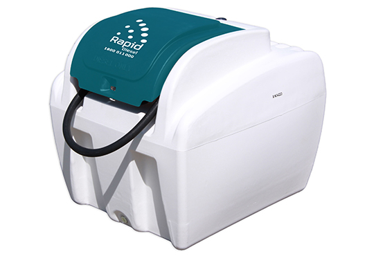
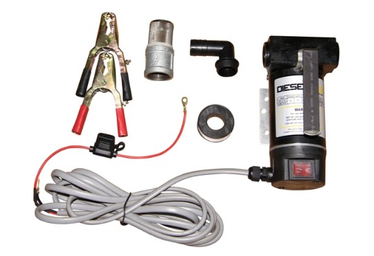
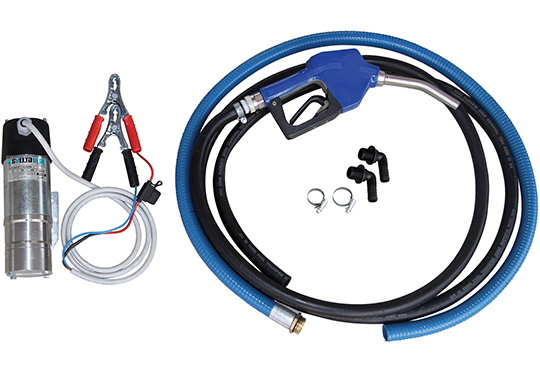
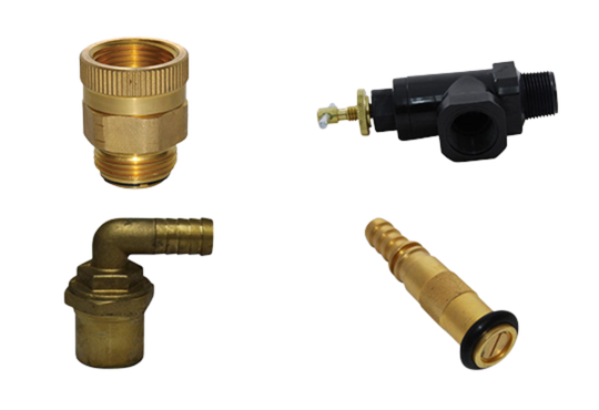
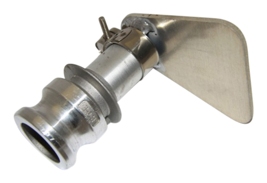
- Diesel Refuelling Parts
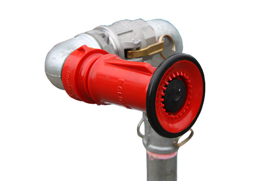
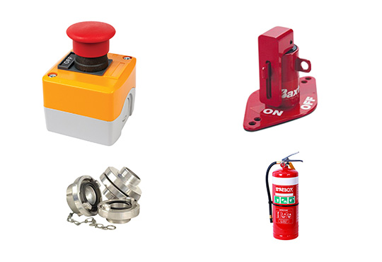
- Fire Fighting Parts
- Mining & Industrial


-
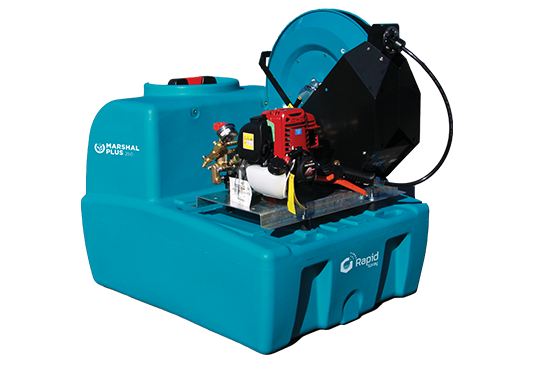
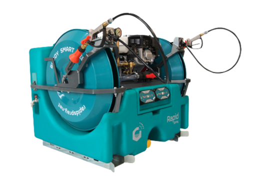
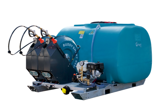
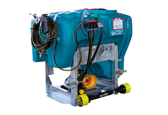
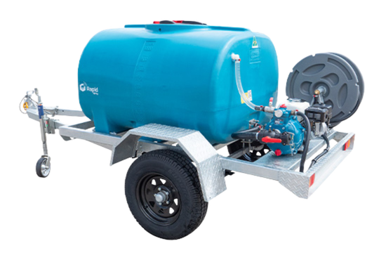
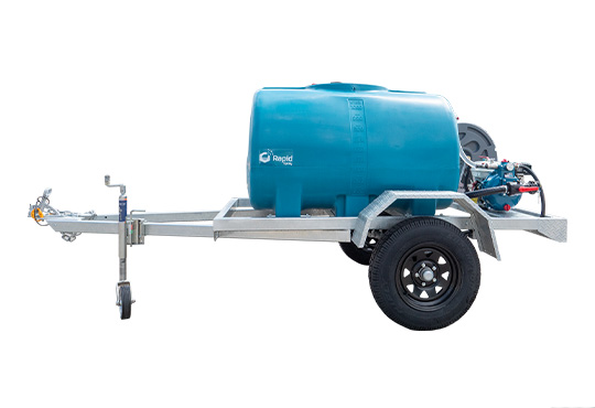
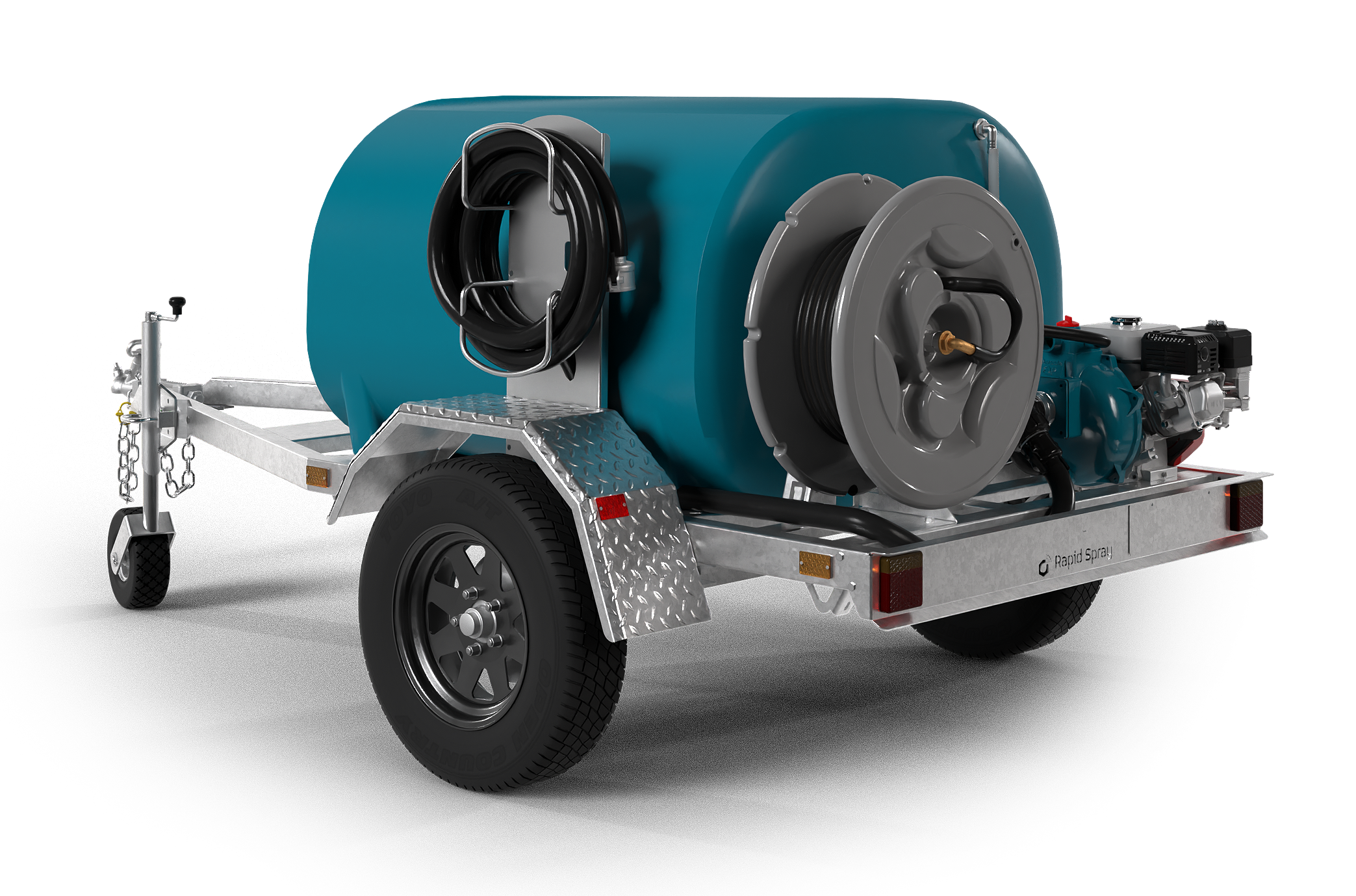
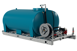
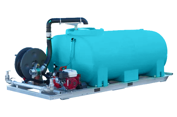
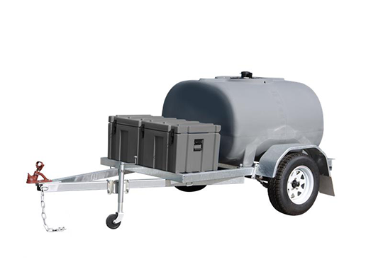
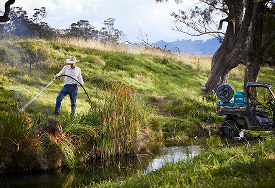
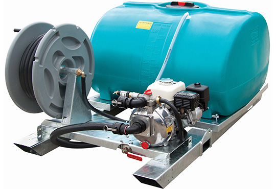
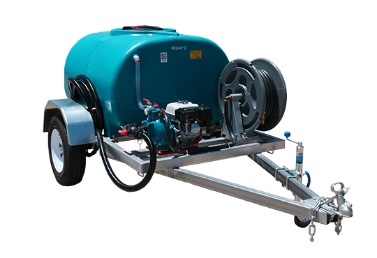
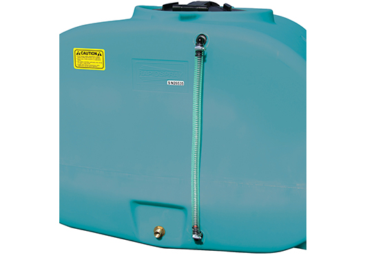
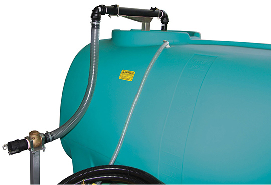
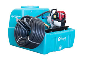
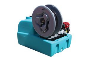
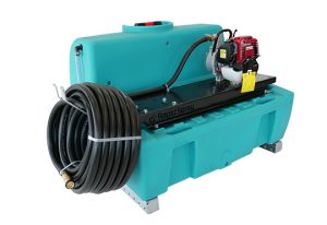
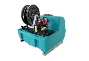
1000L Marshal Off-Road Fire Fighting Trailer – On-Farm
From $10,870.00 Select options This product has multiple variants. The options may be chosen on the product page
Subscribe Today!
All the latest offers, directly to your inbox!
PROUDLY AUSTRALIAN MADE!
*Made from Australian and Imported Componentry